
Why Your Phone Knows Where You Are Even Without GPS
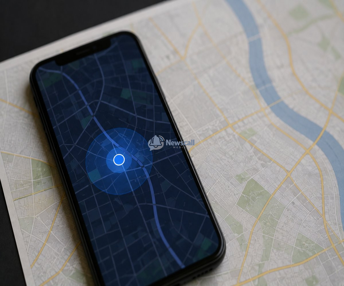
Your phone can often figure out where you are even when GPS isn't available.
That might sound strange.
After all, when you open a map and see your location appear on the screen, it's easy to assume your phone is simply talking to satellites.
But your smartphone has several other ways of figuring out where you are.
It can use nearby Wi-Fi networks, cellular towers, Bluetooth signals, and information from sensors inside the device to estimate your location.
And sometimes, these technologies can be surprisingly accurate.
GPS is probably the most famous location technology in the world.
Your phone communicates with satellites orbiting Earth, measures how long their signals take to arrive, and uses that information to calculate your position.
But GPS has an obvious weakness.
Your phone needs to receive satellite signals.
Inside a building, underground, surrounded by tall buildings, or in places where the signal is obstructed, GPS can become less reliable.
That's where the other systems take over.
One of the most useful is something you probably use every day without thinking about it: Wi-Fi.
Your phone constantly encounters wireless networks.
A coffee shop has one.
Your home has one.
Schools, offices, airports, hotels, and shopping centers have them too.
Every Wi-Fi router broadcasts a unique identifier known as a MAC address. Companies can build databases that associate these identifiers with geographic locations.
When your phone detects several nearby Wi-Fi networks, it can compare them with those databases and estimate where you are.
It doesn't necessarily need to connect to the networks.
Simply detecting them can provide useful information.
Imagine walking through a city with GPS temporarily unavailable.
Your phone detects a Wi-Fi network from a nearby building.
It detects another network a few streets away.
It detects a third one from a business nearby.
By comparing those signals with known locations, the phone can make an educated estimate of where you are.
The more networks it can identify, the more precise the estimate can become.
Cellular networks provide another layer.
Your phone is constantly communicating with nearby mobile towers so that you can make calls, send messages, and use mobile data.
Because your phone knows which towers it can communicate with, the network can estimate your general location.
A single tower might only tell the system that you're somewhere within a broad area.
But when multiple towers are involved, the system can make a much better estimate.
This technique has existed for decades, long before smartphones became powerful enough to carry detailed maps in our pockets.
Then there is Bluetooth.
Bluetooth beacons can be installed in places such as airports, museums, stores, and other large buildings.
When a compatible phone detects these signals, applications can use them to estimate where the device is within a particular environment.
That can make indoor navigation possible even when GPS isn't reliable.
Your phone also contains sensors that help it understand how it is moving.
Accelerometers can detect changes in movement.
Gyroscopes can detect rotation.
A compass can help determine direction.
Together, these sensors allow software to estimate how you are moving even when your phone temporarily loses an external location signal.
This becomes particularly useful when combined with GPS.
Instead of simply losing your location the moment satellite signals disappear, your phone can use its recent position and movement to estimate where you have gone.
This combination of technologies is one reason modern navigation feels almost effortless.
But there is another important part of the story.
Your phone doesn't necessarily need to know your exact position to provide useful location-based services.
Sometimes an approximate location is enough.
A weather application doesn't need to know which side of a particular street you're standing on.
A shopping application may only need to know which city you're in.
A map application, however, may need much greater precision.
Different applications can therefore use different levels of location information depending on what they are trying to do.
This technology has transformed far more than navigation.
Ride-hailing applications use location information to connect passengers with nearby drivers.
Food delivery services use it to determine where orders should be delivered.
Emergency services can use location technology to help locate people who need assistance.
Businesses can use location data to understand where customers are coming from.
Even photographs can contain location information through metadata.
The technology is incredibly useful.
But it also raises an important question:
How much should your phone know about where you are?
Location data can reveal surprisingly detailed information about a person's movements.
It can show where someone lives, where they frequently visit, where they work, and which places they spend time in.
That's why modern smartphones provide privacy controls that allow users to manage which applications can access their location and when.
The technology itself isn't necessarily the problem.
The important question is how that information is collected, stored, shared, and used.
And this is where smartphone location technology becomes more interesting than simply being a convenient navigation feature.
Your phone isn't relying on one magical system to determine where you are.
It's combining multiple sources of information.
Satellites provide one signal.
Cell towers provide another.
Wi-Fi networks provide another.
Bluetooth can help indoors.
Sensors track movement.
Software combines all of those clues to produce the location you see on your screen.
It's essentially a digital detective.
It gathers small pieces of evidence and turns them into an estimate of where you are.
That's why your phone can sometimes know your location even when GPS isn't working.
The bigger lesson is that modern technology rarely depends on a single breakthrough.
The experience feels simple because dozens of complicated systems work together behind the scenes.
You open your map.
A blue dot appears.
It feels ordinary.
But behind that tiny dot is a remarkable combination of satellites, radio signals, databases, sensors, mathematics, and software—all working together in fractions of a second.
And that's one of the most impressive things about the technology in your pocket.
Some of the smartest systems are the ones you barely notice.

Victor Oluebubechukwu Akuma.
Creative writer