

The Startup Building a New Kind of Eye for Earth
From hundreds of kilometres above the planet, satellites already photograph almost everything we can see. But ordinary cameras have a limitation: sometimes, seeing something is not enough.
Two forests may look almost identical from space. Two fields may appear equally green. A body of water may look perfectly normal. Yet the materials, chemicals and biological conditions inside them can be completely different.
That is the problem Pixxel is trying to solve.
The Indian space-tech startup has just raised $100 million in a Series C funding round to build what it describes as a new kind of planetary infrastructure — combining advanced satellites, Earth-observation data, artificial intelligence and software capable of turning what satellites see into information that governments and industries can actually use.
The round was co-led by Singapore's Temasek and Seraphim, with participation from new investors 360 ONE Asset and IMM Investment alongside existing backers including Radical Ventures and growX Ventures. The investment brings Pixxel's total funding to $195 million and represents the largest single funding round raised by an Indian space-technology company.
But the most interesting part of the story isn't the $100 million.
It is what Pixxel's satellites are capable of seeing.
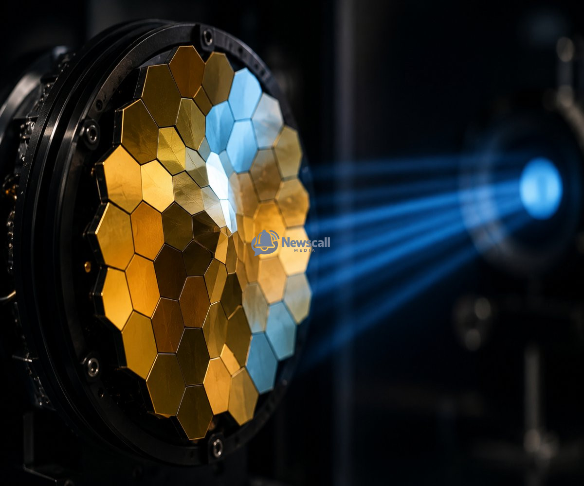
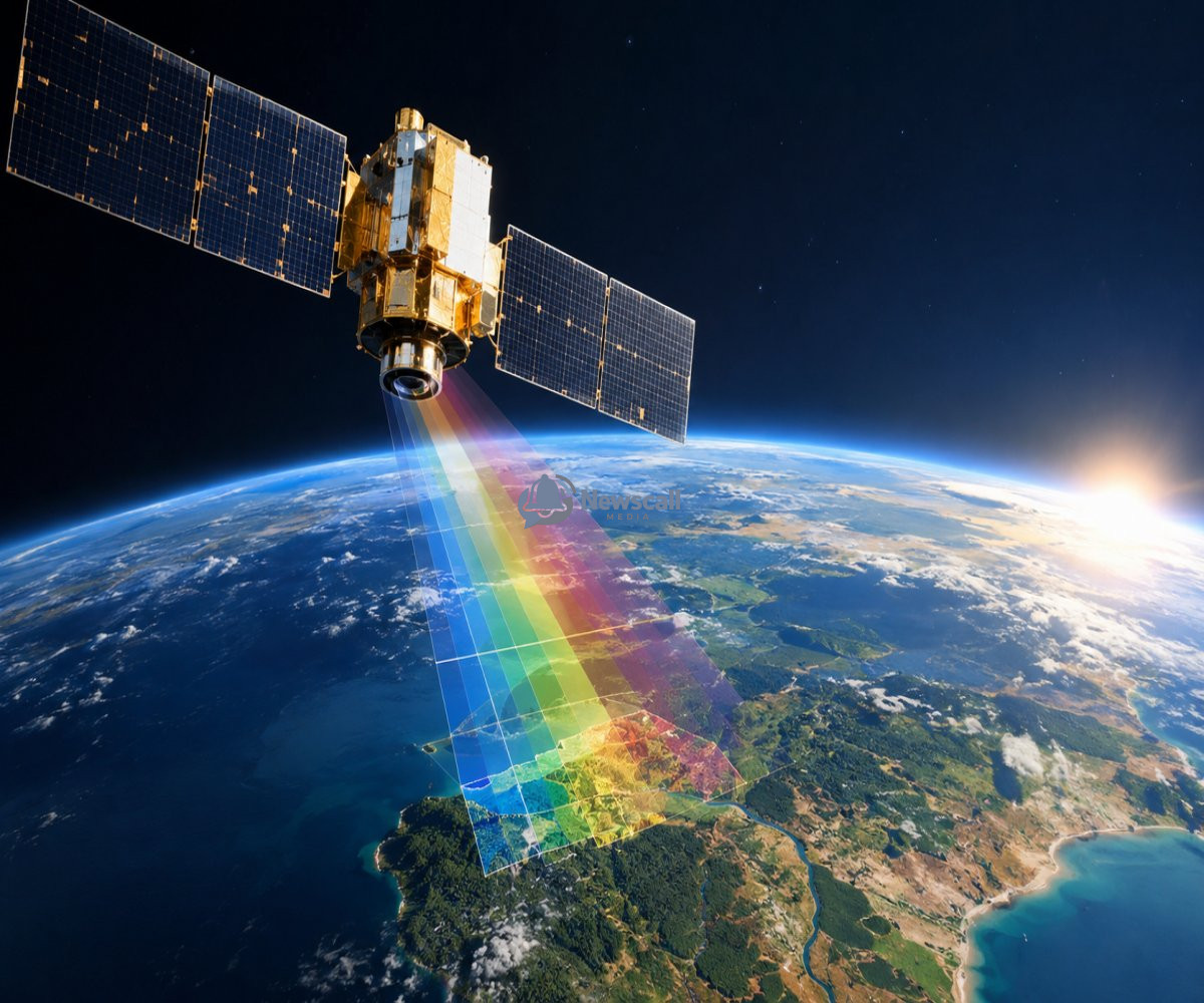
The company began with hyperspectral imaging, a technology that goes beyond the familiar red, green and blue channels used by conventional cameras. Instead, hyperspectral sensors capture information across many different wavelengths of light.
That sounds like a technical distinction, but it changes what a satellite can learn about the Earth.
Different materials interact with different wavelengths in different ways. Vegetation, minerals, water, soil and man-made materials can therefore leave distinctive spectral signatures. A hyperspectral satellite can use those signatures to reveal characteristics that might be invisible in an ordinary photograph.
Imagine looking at a forest from space.
A conventional satellite might tell you that the forest is green and show you where the trees are. A hyperspectral system can potentially reveal much more about the condition and composition of what it is observing.
The same principle can be applied to agriculture, mining, environmental monitoring and other areas where knowing what something is can be more valuable than simply knowing where it is.
Pixxel has already put this technology into orbit. Over the past two years, the company has deployed six Firefly satellites, which it describes as the world's highest-resolution commercial hyperspectral constellation.
Now, it wants to go much further.
The new funding will support a next-generation satellite constellation called Honeybee. The first Honeybee satellite is expected to launch in 2027 and will extend Pixxel's sensing capabilities into shortwave infrared while the company also adds technologies such as synthetic aperture radar and ultra-high-resolution optical imaging.
This is important because no single sensor can see everything.
Different forms of satellite sensing reveal different pieces of information. Optical cameras are useful for detailed visual imagery. Hyperspectral sensors reveal spectral characteristics. Radar can observe the Earth's surface in ways that are less dependent on sunlight and can provide information that optical imagery cannot.
Pixxel's ambition is to bring these different sources together.
That is where Aurora comes in.
Aurora is Pixxel's Earth-intelligence software platform. Instead of simply delivering enormous amounts of satellite imagery to customers and leaving them to figure out what it means, the company wants Aurora to combine different datasets and turn them into decision-ready information.
In other words, Pixxel is trying to move from selling images of Earth to selling intelligence about Earth.
That is a significant shift.
A satellite can collect terabytes of information, but raw information isn't necessarily useful. The real value comes from extracting patterns from it quickly enough for someone to act.
A farmer could potentially use satellite intelligence to understand changing conditions across large areas of farmland. Governments could monitor environmental changes. Industries could identify resources or infrastructure problems. Researchers could track changes across ecosystems.
And as artificial intelligence becomes better at analysing enormous datasets, the amount of useful information that can be extracted from satellite imagery is likely to increase.
Pixxel is therefore building both sides of the equation: the machines that collect the data and the software that interprets it.
The company is also expanding into sovereign Earth-observation systems — technology that governments can use for their own strategic and national requirements. Pixxel has already secured contracts with NASA and the U.S. National Reconnaissance Office and has won multiple challenges from India's Ministry of Defence. It has also been selected to lead the development of India's first public-private Earth-observation constellation of 12 satellites under IN-SPACe.
That shows how the satellite industry is changing.
Space is no longer simply about launching rockets and putting communications satellites into orbit. Increasingly, the valuable layer is the data collected after those satellites get there.
A satellite becomes a sensor.
The sensor produces data.
AI and specialised software turn that data into intelligence.
And that intelligence can influence decisions on Earth.
Pixxel now wants to build that entire chain.
The company plans to expand its satellite manufacturing capabilities in both India and the United States through its Gigapixxel manufacturing initiative, allowing it to produce advanced satellites at a higher rate.
The ambition is enormous. Pixxel is no longer presenting itself simply as a company that builds hyperspectral satellites. It is positioning itself as planetary infrastructure — a system of sensors, spacecraft, software and intelligence designed to help humans understand a changing planet.
That may ultimately be the most important development in this $100 million funding round.
We already have satellites watching Earth.
Pixxel's bet is that the next generation of space technology won't just watch.
It will understand.

Victor Oluebubechukwu Akuma.
Creative writer